Lowell Police Department recently issued the following announcement.
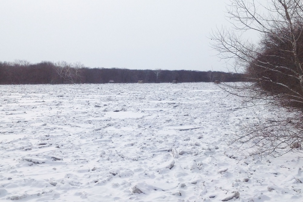
Those who live or work along area rivers will want to pay close attention to water levels going into this weekend and next week. The threat begins Thursday and Friday when the smaller rivers (such as the Rogue, Thornapple, and Flat) may experience some ice jams due to warming temperatures, ice breakup, and signficant rainfall. Then, as the water and ice move into the larger rivers (such as the Grand), the ice jam potential increases there as well into the middle of next week.
The National Weather Service in Grand Rapids reminds us of the following:
- Monitor the rivers in your area closely, especially once the ice on the river begins to shift and move!
- Ice Jams are notoriously unpredictable, and can cause water to rise MUCH faster than usual
- Ice Jam's tend to form at sharp bends, or bridges, or shallow spots in the rivers. In Kent County, bridge piers are probably the largest of those risks.
- Report flooding or ice jams to local Law Enforcement, who will relay to the National Weather Service, or report directly to NWS on Facebook/Twitter or via phone at 616-949-0643
While you can view the latest reported river levels online, ice jams can cause isolated flooding that won't be shown due to the limited number of river guages/observers.
Matt Groesser - Emergency Management Coordinator - Matt.Groesser@KentCountyMI.gov - 616.632.6255
Original source can be found here.

 Alerts Sign-up